Vision
To encourage and promote the responsible stewardship of our natural resources through conservation, restoration and protection and to enhance the health, economic benefits and quality of life for the citizens within the District.
What We Do
We coordinate with regional partners to protect, restore and enhance local natural resources through voluntary programs and education.
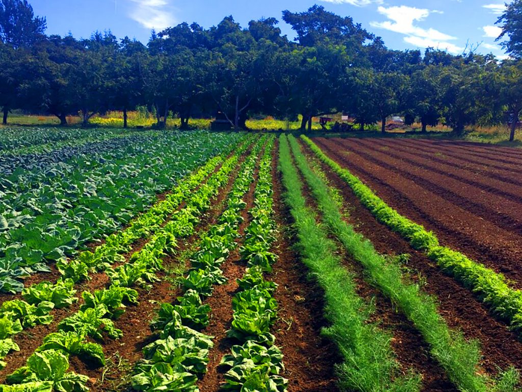
We work with the community on water, land, fire safety and agriculture.
Resources
We strive to assist the community in learning more about natural habitat conservation and protection.
We provide grants to local property owners to help with restoration and conservation projects.